49N9E
The first geocache in southern Germany was placed in march 2001 at a degree confluence:
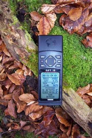
Exact location:
49 degrees 0 minutes 0 seconds north
9 degrees 0 minutes 0 seconds east
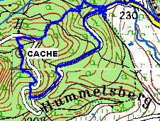
The position conveniently happens to be in the middle of a forest:
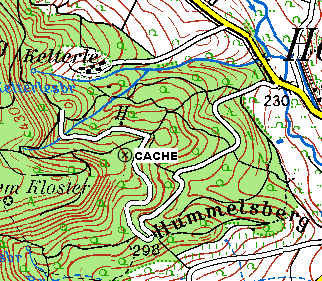
Here are some pictures to help you find the cache:
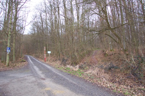
Approaching the area from Hohenhaslach you will see a place to park the car (left), the main road and a hiking trail marked with a blue cross (right).
The cache is in about 600 meters air-line distance from here.
You can reach it both ways, the hiking trail is the shorter way.
The area is suited for bicycles.
As you can see in 2001 we got impatient on the main road, took a "shortcut" and returned on the shortest path.
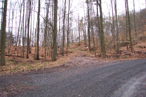
If you follow the paths you will end up at this crossing (we only saw it on the way back).
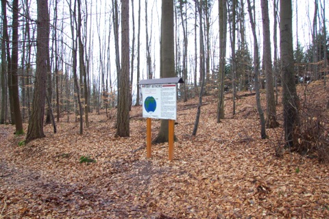
Standing at the crossing you will see this sign on the left side which claims 49N9E is there, but looking at your GPS you will notice it's not.
Instead, follow the trail ahead on the previous picture (or your GPS).
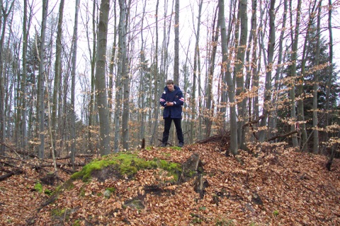
On a small mound at the side of the trail our GPS insisted this was the place...
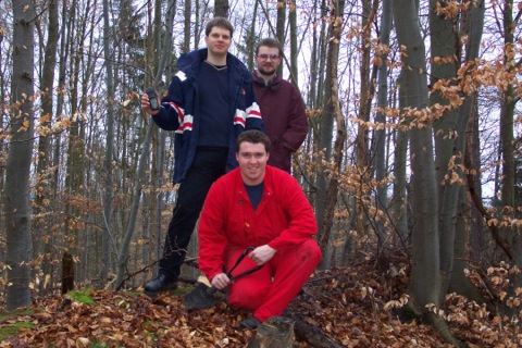
...or as close as you could get in 2001.
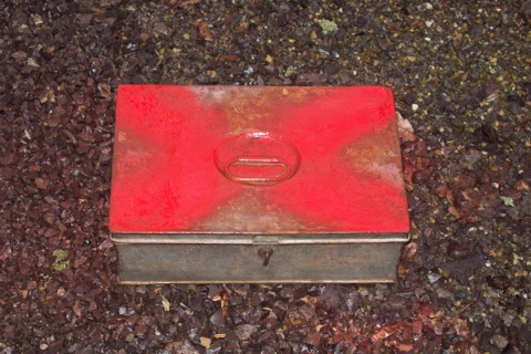
This was the initial cache. Today it's still hidden on the above mound.
We wish you a lot of fun looking for 49N9E!
By the way, if you find it and wonder why there are so many log books, but none from before 2003:
The first one was removed (because it's in DIN A4 format), it's available on request from the cache owner.
© 2001-2021 B. Wesslowski (bwess)